 Ocean Cartography
Uncharted Abyss: Decoding Humanity’s Failure to Map Our Own Ocean Floor
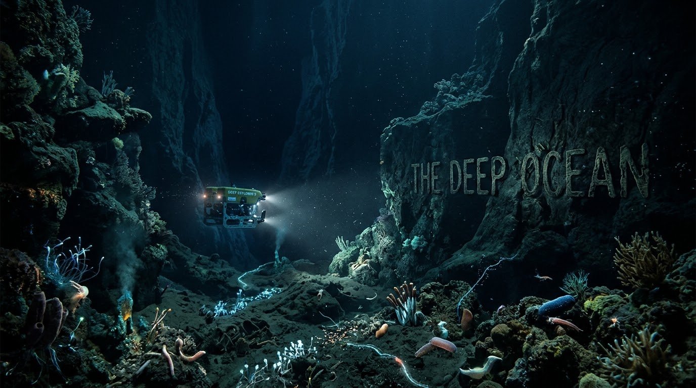
While space exploration dominates headlines with romantic promises of interplanetary colonization, over eighty percent of Earth’s underwater topography remains unmapped, unobserved, and unvisited by human eyes. We possess vastly superior high-resolution topographic maps of Venus, Mars, and the Moon than we do of our planet’s abyssal seabed.
This startling technological disparity reveals a fundamental paradox in human ambition: reaching across vacuum physics into space is fundamentally easier than overcoming hydrostatic pressure beneath liquid water.
The numbers expose a quiet humiliation. Every visible crater on the Moon has been photographed to sub-meter resolution. Every ridge on Mars has been laser-mapped. Every clouded plateau on Venus has been radar-imaged from orbit. Yet the seabed of our own planet — the largest continuous terrain on Earth — remains largely a dark, blank expanse on our charts.
Of the seafloor surveyed since the 1950s, only a small fraction has been captured at modern sonar resolution — leaving the vast majority either roughly inferred from satellite gravity measurements or completely unobserved. The most detailed map of any alien world is still more detailed than our best map of our own planet’s deepest regions.
The primary engineering obstacle hindering deep ocean exploration is the unforgiving physics of hydrostatic pressure. Spacecraft hulls and deep-submergence hulls face fundamentally opposite forces — and the ocean’s forces are far more brutal.
Outward Pressure
Spacecraft hull designs focus on containing internal outward pressure against the vacuum — a maximum pressure differential of exactly one atmosphere (14.7 psi).
Inward Pressure
Deep-submergence hulls must withstand inward compressive forces strong enough to instantly crumple heavy structural steel like foil.
As an explorer ascends into outer space, the pressure differential between a spacecraft interior and the surrounding vacuum caps out at exactly one atmosphere. Descending toward the ocean floor adds one full atmosphere of crushing pressure for every ten meters of depth, culminating in over one thousand atmospheres at the bottom of the Mariana Trench.
We built rockets to escape planetary gravity long before we built hulls capable of surviving our own world’s fluid weight.
Shabab Ali
Electromagnetic attenuation presents another impenetrable physical barrier unique to dense aqueous environments. Radio waves, GPS signals, optical light, and radar radiation penetrate planetary atmospheres and vacuum space across millions of kilometers, enabling high-resolution satellite remote sensing of alien worlds.
Seawater acts as a near-perfect shield against electromagnetic spectrum transmission, scattering visible light within two hundred meters and absorbing standard radio signals almost instantaneously. Mapping the sea floor requires complex acoustic bathymetry using sonar arrays — which requires expensive, slow-moving maritime surface vessels scanning single strips of ocean at a time.
Economic prioritizations historically steered scientific funding away from marine research toward aerospace endeavors. Cold War geopolitical rivalries drove multi-billion-dollar government investments into rocket propulsion, orbital satellites, and lunar landings for national prestige and military ballistic advantage.
Deep-sea exploration lacked an equivalent global political arms race, leaving marine institutes reliant on modest academic budgets, private philanthropy, or commercial oil and gas offshore survey ventures. The geopolitical race that put humans on the Moon never funded a seafloor survey of equal ambition.
The environmental logistics of abyssal operations present extreme operational hazards to scientific equipment and human crew. Seawater is not merely a high-pressure medium; it is a highly corrosive chemical bath of salty electrolyte solution that aggressively oxidizes metals, short-circuits electronics, and degrades structural joints over brief operational windows.
Salty Electrolyte Bath
Aggressive oxidation eats through metals in hours. Electronics short-circuit. Every operational window is a race against chemical destruction.
Near-Freezing Cold
Ambient temperatures hover between 1°C and 4°C. Batteries drain faster. Seals harden. Materials become brittle. Every subsystem must be thermal-resistant.
Titanium & Syntactic Foam
Only ultra-specialized alloys survive. Thick titanium hulls, syntactic foam flotation, and pressure-compensated electronics are standard — not optional.
Combined with near-freezing temperatures hovering between one and four degrees Celsius, deep-submergence gear requires ultra-specialized materials — thick titanium alloys, syntactic foam flotation, and custom pressure-compensated electronics — to survive even brief missions.
Outer space invites our curiosity with clear skies and distant light; the deep ocean repels our intrusion with crushing weight and total darkness.
Shabab Ali
The sheer volumetric vastness of Earth’s ocean floor dwarfs our current survey infrastructure. Covering more than 360 million square kilometers, the ocean floor is not a flat muddy plain; it features jagged volcanic ridges, subduction trenches deeper than Mount Everest is tall, and undersea mountain networks spanning tens of thousands of continuous miles.
Relying on traditional surface ship multibeam sonar to map this entire dynamic terrain requires decades of continuous, coordinated international naval voyages costing billions of dollars — a scale of international cooperation rarely achieved for any scientific mission.
Biological risks and communication latency further complicate deep autonomous robotic deployment. Radio frequency control systems cannot communicate with autonomous underwater vehicles (AUVs) operating thousands of meters beneath the surface, necessitating pre-programmed AI navigation routines or fiber-optic umbilical tethering to surface ships.
Deep Space Communication
A Mars rover transmits telemetry across 225 million kilometers — delayed but continuous — enabling real-time human oversight of every move, sample collection, and scientific decision.
Bandwidth: tens of kilobits per second.
Acoustic Telemetry
An AUV at 4,000 meters cannot transmit radio data at all. It must surface periodically, or rely on low-bandwidth acoustic relays — pushing less than 100 bits per second through the water.
Bandwidth: less than a single text message per minute.
Acoustic communication relays provide extremely low bandwidth telemetry, forcing scientists to operate deep ocean missions with minimal real-time data feedback compared to interplanetary probes transmitting telemetry across space.
Despite these terrifying physical and financial constraints, modern astrobiological and climate research is accelerating deep-sea interest. Submarine hydrothermal systems hold crucial clues about the origin of life on primitive Earth and provide structural analogues for subsurface ocean exploration on icy moons like Europa and Enceladus.
Furthermore, accurate bathymetric data is essential for modeling global ocean thermal transport, predicting tsunami propagation patterns, understanding carbon sequestration pathways, and regulating international seafloor mineral extraction responsibly.
Humanity’s ultimate challenge is not choosing between space or the ocean, but realizing that understanding our own aquatic abyss is the prerequisite to mastering planetary science.
Humanity’s ultimate challenge is not choosing between space or the ocean, but realizing that understanding our own aquatic abyss is the prerequisite to mastering planetary science.